A highway created my view of the local landscape, a road that’s not even the original one that connected the colonial capital of Santa Fé with the Spanish settlement of Santa Cruz and the northern pueblos. According to the 1940 WPA Guide to 1930's New Mexico that road originally went through Santa Cruz, but was moved west “a few years ago.”
It was moved to speed tourists between Santa Fé and Taos who were impatient with the twists and turns of roads built for ox carts. When gas stations and stores and homes sprouted along the new road, 84/285 became a bottleneck made worse by drivers more intent on turning into badly graded parking lots than maintaining the flow of traffic. The need to watch them makes it difficult to notice the twists in the road.
My image of the road from Pojoaque, described in a posting for 3 November 2011 on the “Santa Fe Group,” was that it went through Tertiary sediments laid down, after the Velarde half graben dropped, but before the Rio Grande existed, from debris washed down from the Peñasco Embayment north of the Picuris river. Animal fossils date to the Miocene Barstovian period of 14 to 15 million years ago.

To understand how Arroyo Seco could possibly cross my local ditch, I had to imagine what the land was like before those sediments were disrupted and rearranged by faulting events. I tried to think of the area as a rolling plain with the Santa Cruz river, Arroyo Seco and Pojoaque Creek flowing down from the Sangre de Cristo. The bones of extinct large mammals have been found in the badlands near those ancient rivers.
This week, I drove down to the Nambé exit north of Pojoaque and came back trying hard to see through the dramatic present to the past when the arroyo first carved its bed.
Route 84/285 rises some 125' as it leaves the -5825' valley of Pojoaque Creek to peak somewhere around -6000' west of a 6073' peak called Nambé on the USGS map. In a quarter mile, the road angles left and begins its descent into the valley of Arroyo Seco. It’s crossed the watershed between the two waterways.

For a short distance it levels around -5925' with a wide open space to the right. This is where those feeder arroyos are flowing somewhere out of sight in the hills.

Within a mile, the road is forced east by the intrusion of a -6000' pile of sediment, something you would expect if you were following a river through the herringbone pattern of alternating east and west ridges. This is just before the tributary arroyos reach the main one.

From there the highway goes left again, and drops to the valley floor at roughly 5725'. The tributaries have now joined Arroyo Seco and it becomes visible from the road. It’s banks are low. The alluvial soils must be so soft, what water flows through there simply spreads.

From there it flows west as described in the previous post.
Note: Elevations are estimates based on the USGS map. It’s quite possible I’ve misread the gradation lines in places. These maps are not my area of expertise.
Photographs:
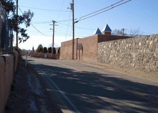
1. McCurdy Road near Iglesia de la Santa Cruz de la Cañada,7 February 2012. There are no shoulders and no passing room between walls that block the view of curves.
2. Los Barrancos on the west side of 84/285, north of Pojoaque on Pojoaque pueblo land, 2 November 2011.
3. East-west ridge you cross on 84/285 as you enter the Arroyo Seco valley from Pojoaque, 2 November 2011; view to the east.
4. Arroyo Seco valley to the east from route 84/285, 2 November 2011.
5. 284/285 getting ready to swerve around the formation on the west, 2 November 2011.
6. Arroyo Seco from Bar D Four Road looking south, 6 February 2011; 84/285 is the grey line behind the trees.
No comments:
Post a Comment